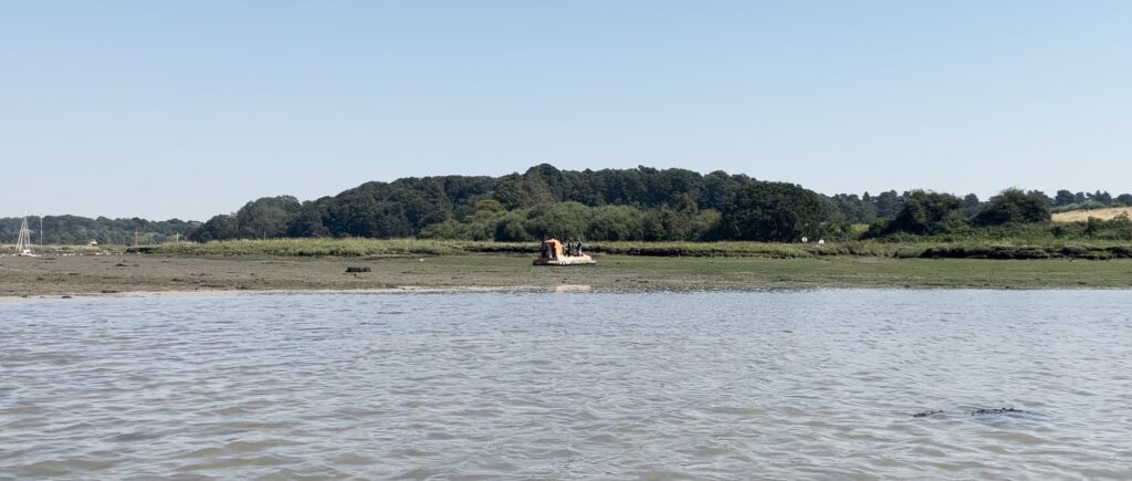
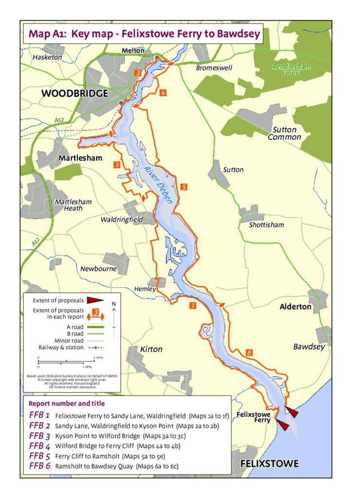
EA examine weeds and algae on intertidal mud in Woodbridge – 12 August 2024

Local residents and water users were surprised to see a hovercraft travelling up and down the Deben, and then stopping on the mud flats to take samples and measurements. When asked what they were doing, the operators explained that they were studying the weeds and algae on the mud as an indicator of the long term water quality.

When asked for more detail, Naomi Boyle of the Environment Agency said: “This was our planned Deben Estuary opportunistic macroalgae sampling as part of our TraC programme  (Transitional and Coastal Waterbodies), and as part of a larger programme of work focussed on the Deben this year.

Note: Use of hovercraft is limited to window after bird breeding season and before wading bird passage season, we have to get agreement from Natural England. We use a contractor pilot who is highly experienced in this survey method.”

Mystery solved!

EA publishes new guidance for riparian landowners – 16 July 2024

The Environment Agency has published new guidance for ‘main river’ Riparian landowners – ‘main rivers’ differ from other watercourses in that the EA is responsible for maintenance, improvement or construction work on ‘main rivers’ to manage flood defence, whereas lead local flood authorities, district councils and internal drainage boards carry out flood risk management work on ‘ordinary watercourses’.

The Deben is classed as a ‘main river’ for most of its length – the Statutory Main River Map shows all ‘main rivers’ in dark blue, and other watercourses in turquoise.

Secretary of State approves Felixstowe Ferry – Bawdsey Coastal Footpath route – 5 May 2024

On 5 May 2023 the Secretary of State for Environment, Food and Rural Affairs announced their decision to approve the Natural England (‘NE’) proposals for lengths FFB2 (Sandy Lane, Waldringfield to Kyson Point) and FFB3 (Kyson Point to Wilford Bridge).

Twelve months later (on 3 May 2024) they announced their decision to approve the NE proposals for lengths FFB1 (Felixstowe Ferry up river to Sandy Lane, Waldringfield), FFB4 (Wilford Bridge to Ferry Cliff), FFB5 (Ferry Cliff to Ramsholt) and FFB6 (Ramsholt to Bawdsey Quay).

https://www.gov.uk/government/publications/coastal-access-section-52-notice-for-felixstowe-ferry-to-bawdsey

DEFRA points out that “The right of access to the approved stretch of coast does not come into effect at this stage. Natural England will be working with the local authority to establish any infrastructure works before an Order is made by the Secretary of State under the 2009 Act to bring the rights into effect.”

EA ‘looking for sites to plant riverside trees’ – 30 April 2024

The Environment Agency today issued an invitation to local landowners and community organisations that could be of benefit to the River Deben. They say:

Tree planting along Rivers in Suffolk & north Essex 2024-5
We have some funding for native tree planting along rivers in Suffolk (including parts of Essex within
the River Stour catchment) for 2024-5 and wish to target those lengths of rivers which are likely to
benefit from additional trees and/or scrub.
Planting native tree species along a river can a significant improve water quality through stabilising
the riverbank and reducing sedimentation. Trees also provide much needed shade which helps to
keep rivers cool and improve the habitat for fish and terrestrial wildlife. Shading also helps to control
the growth of excessive emergent vegetation which can choke the channel slowing the flow and
causing siltation.
If you are interested, we would like to walk your stretch of river and discuss options with you. If
appropriate we will come up with some sympathetic planting proposals for your approval. The
funding will cover the material cost of trees and protection and planting costs. The timescales for
planting will need to be between November 2024 and March 2025 so we would aim to walk each
site and draw up any plans during summer and early autumn 2024.

Please click on this link to see the full invitation and contact details

EA analysis shows only one instance of poor water quality at Waldringfield – 14 February 2024

At the East Suffolk Catchment Plan (ESCP) workshop organised by the Essex and Suffolk Rivers Trust (ESRT) on 08Feb24, Alison Parnell of the Environment Agency was asked about the outcome of EA’s regular water testing programme at Waldringfield (now that it has Bathing Water status). She explained that the water quality data is gathered regularly, uploaded frequently and is publicly available online. The EA has also prepared a simple handout explaining how to access and interpret the data.

The Bathing Water Regulations 2013 set out the bathing water ‘season’, which runs from 15 May to 30 September each year. The EA is required to test for two types of bacteria, and Waldringfield is sampled twenty times a season. At the workshop, she outlined the results of water testing in 2023, and she subsequently emailed us the EA report on Waldringfield Water Quality .

The report states that an Environment Agency sample taken on 2nd September was high in bacteria, both Escherichia coli (E. Coli) and Intestinal Enterococci. Without this sample, the overall water quality classification would have been ‘Good’ for 2023. On that date, the water levels were particularly high, and the entire beach and intertidal marshland was covered by the tide, leading to potentially worse than usual water quality due to the influx of rotted vegetation and bacteria from wildlife, dogs, or livestock from the rear of the marsh and strand lines. They investigated further using Microbial Source Tracking, and the samples showed evidence for faecal pollution from seabirds, dogs, pigs and some human non-faecal sources.

However, there are many factors that affect water quality, not just these two bacterial strains, and so this analysis by the EA should be considered in the context of other research, such as that by Bill Brammar and David Findley on E. Coli and phosphate levels in the upper reaches of the river.