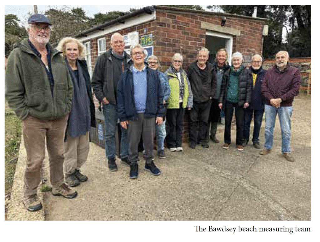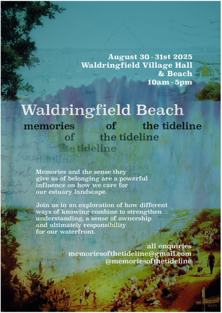
Sue Quick, Simon Read, and a team of willing volunteers organised this well-attended community event, which took place both in Waldringfield Village Hall and along the river wall at Waldringfield Beach.
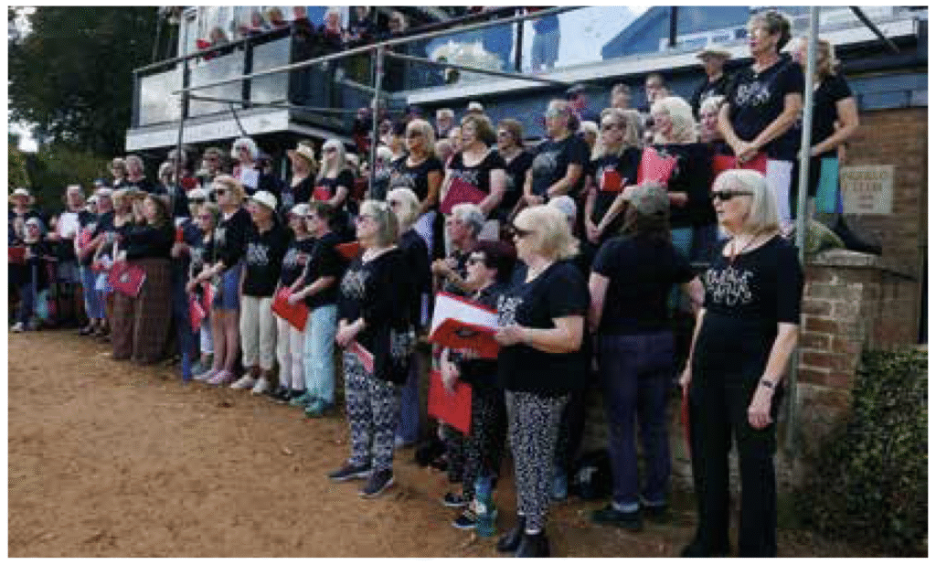
‘Beach’ events included a ‘Flood Management Walk and Talk’ by David Kemp of the Environment Agency, a ‘History Walk’ led by Gareth Thomas, demonstrations from Ipswich Detectorists and the David Findley, music from the Rabble Chorus, and open access to the Boatyard Studio in Waldringfield Boatyard.
In the Main Hall there were stands from the National Landscapes, Environment Agency, DEP and RDA, Waldringfield Wildlife Group, Ipswich and District Detector Club, and the Deben Climate Centre, plus many artists exhibiting their work under the heading ‘Art and the Shoreline’: Waldringfield Art Group; Jackie Brinsley; Tim Curtis; Lizzie Hale; Malcolm Hodd; Al Gurr; Ian Kay; Graham Kellaway; Claudia Myatt; Simon Read; Neil Sully; Darren Tansley; Annie Turner; Jonathan Ruffle.
In the Kennedy Room, visitors could watch videos from Tim Curtis and Malcolm Hodd (and ask them questions), as well as learn more about local history (from the Waldringfield History Group) as well as the 3C’s project and the Deben Photoposts (Helene Burningham).
But to get into the mood to appreciate all this local activity, visitors first walked through a corridor filled with locally-recorded birdsong and lined with pictures of the birds we can see and hear on and around the river.